PAPI Project – Land Management Drone
Aerial Exposure undertook a project to bring a new product to market through the PAPI Scheme (Product and Process Innovation) Funded by the European Regional Development Fund and managed by the University or York.
Product Goals
‘A multipurpose drone for land management’
To bring a drone solution to market targeted towards owners of large holdings and land management companies, the drone is to be capable of delivering the following solutions.
- Crop monitoring using multispectral cameras.
- Land mapping using RGB sensors.
- Building inspection.
- Perimeter / livestock surveillance / monitoring.
The drone will feature a highly accurate and precise GPS system for geotagging the images using RTK and PPK workflows. The drone navigation will also be done via RTK.
Initial Testing Outputs
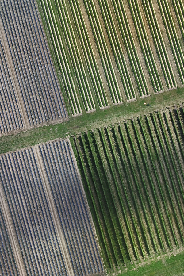
Orthomosaic

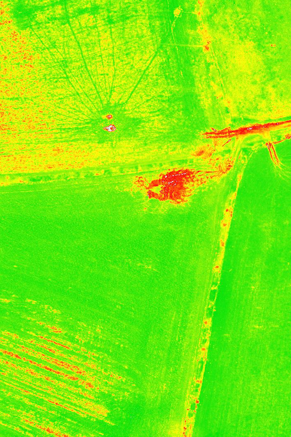
Crop Health

Property Inspection


